Social Trail On Observatory Mesa
 |
| Wide, abandoned double track ascends Observatory Mesa through an old wire fence. |
The forests around and within Flagstaff are threaded through with "social trail." These are trails that were constructed without official permission of the various government entities that supervise public land. Many of these seem to be trails of convenience, connecting two points, and probably were just paths beaten into the earth by many walkers. Others seem surprisingly well-designed. I suspect many of these more designed trails are the handiwork of mountain bikers.
 |
| Sign reads: "Unauthorized Trail" at this intersection. Nevertheless, I saw fresh mountain bike tire tracks in the dirt. |
Some of these trails are undesirable. On Observatory Mesa (Mars Hill) on the edge of town, there are several trails labeled with laminated signs saying that the trails are unauthorized and jeopardize future access. Some property is private, other public, and some a mix of use by legal agreement. I saw both mountain bike tracks and shoe prints on these trails despite the signage.
I've wanted to explore a particular drainage that crosses an official, sanctioned urban trail that ascends the mesa. There is a well-used path that climbs up into a ravine and it is not signed as an unauthorized trail. It looks like it may have been used by vehicles at some point. I hiked from my house over to the mesa, about 1.5 miles to the beginning of the trail by the route I took (using some FUTS trail that begins along Route 66 West to avoid walking along roads the whole time). It was to be my longest hike in several months.
The trail climbs through an obvious intermittent water course. The slopes are initially close and steep, but open out into an upper basin after a short distance. There are two or three side trails but these are marked as being unauthorized. Eventually the trail turns right and climbs atop the mesa where it terminates at a T intersection with a rugged fire road.
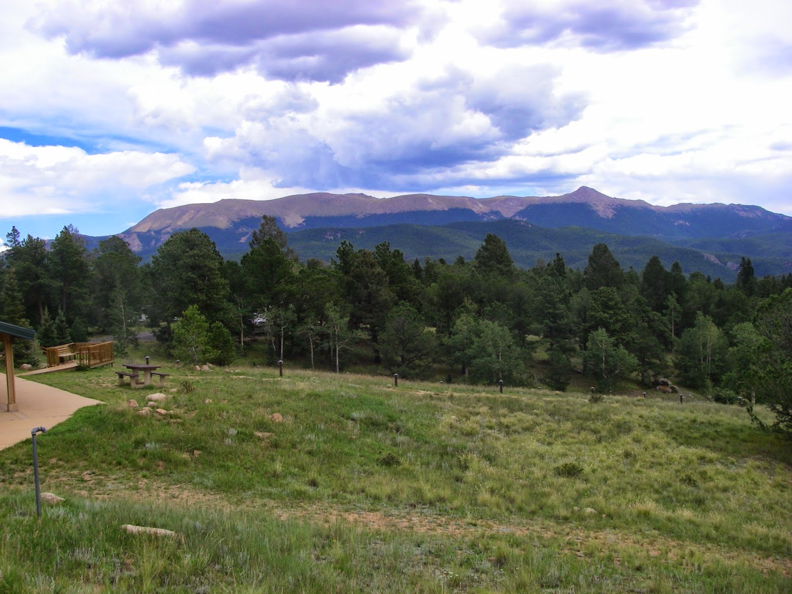
 |
| The fire road became grassy after a short distance. I studied my Strava map and determined it would be some distance before I could connect back to urban trail to make a loop so I turned back. |
The top of the mesa was a spacious pine forest with plenty of green grass. I went left for a while and ran into someone I know from work. It's a small town.
Flagstaff has been rainy since about June and it has continued beyond the official end of the monsoon season. More rain is expected tomorrow. The forest looks healthy. The hike ended up being a bit over 6 miles roundtrip. I'll be on call next weekend and do some more training, then I should be ready for an easy to intermediate Grand Canyon hike on my next weekend off, and I'm looking forward to it.
The mountain tops have already been dusted with snow and it's only a matter of time before we get it down at city level. I'm not completely looking forward to it but I guess I am ready to enjoy ski season. I just need to do some more lower body stretching, and it would be helpful if I would lose some weight, but I don't feel like doing that right now.

Comments
Post a Comment