Lost On Observatory Mesa
 |
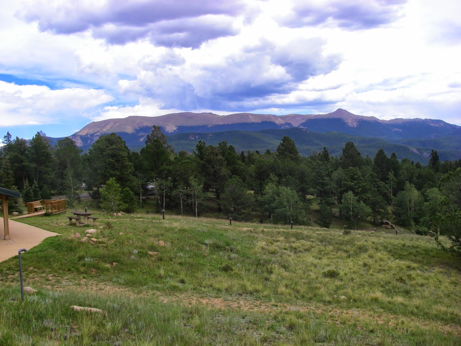
| This is a photo from shortly before I got lost. It's supposed to have the Naval Observatory in it but the resolution isn't good enough in this photo. |
I decided to take Labor Day off and bicycle up on Observatory Mesa. This is the area of land above Mars Hill and behind the Lowell Observatory, where the dwarf planet Pluto was discovered. It's a gigantic area of pine forest, meadows, and open prairie, threaded through with fire roads.
I started on urban trail that starts by the city work yard on Route 66 West and then climbed one of my favorite bicycling hills on the Railroad Springs Trail. It features good scenery and isn't too difficult, although I was definitely slow, carrying extra water, spare inner tube, bike tool, pump, and a new medical kit. I was prepared to explore.
I kept my pace moderate so I could extend the mileage. My fitness slipped a little recently due to travel and an ankle issue, but I still wanted to get in a long ride and explore some new ground beneath completely blue skies.
I forgot to close the valve on my back tire and had to stop to inflate. Often I don't even bring a pump when I'm riding from my house, but something told me I should bring on this particular ride. Good thing I did, or I would have had to turn back early.
The urban trail eventually intersects with A1 Mountain Road (FS 515). It is possible to drop onto single track in the area, but that emerges into a suburban neighborhood along the Highway 180 corridor, so I turned left and followed the road. This cruises through pine forest for about 3 miles and passes a couple of tanks, brimming with water after the very wet monsoon season. The grass was green, and there are even still deep puddles in the road.
 |
| Sweeping views from the large prairie on A1 Mountain Road! There is an optical illusion here that the prairie leads up to the base of the peaks but Fort Valley must lie in between. |
After a while, the road climbs a little and emerges into an expansive prairie with views of Humphreys Peak and A1 Mountain. It's one of my favorite places around Flagstaff.
After I gained confidence in the tire, I decided to explore some, but I changed my route, thinking it would be easier and safer to turn south off A1 Mountain Road, rather than north. This was incorrect, as I was lost within about 20 minutes or so. The unmarked road I took headed along the south rim of the mesa, but soon turned back into the forest. I made right turns thinking this would direct me towards the main road eventually, but instead, it headed me off onto a "peninsula" of the mesa. This wasn't clear to me at the time and I only figured out what happened when I got back home and had a chance to look at the GPS track on a large map.
I rode the unmarked double track back into the forest, at one point thinking I was headed north when I was actually headed south. I figured this out when the road ended along a canyon. I started back tracking but couldn't remember exactly which branch of roads I had come down. I finally had to take a few minutes to use the Strava maps in my phone to figure out a route back to the main road. I'd had plenty of water with me but no food and I admit to feeling a little dread for a while.
After I got back to the road and verified with the digital map I started to feel better, and it's a net downhill back to my house for several miles from there. I ended up doing about the mileage I wanted, over 15 miles, and I learned a thing or two about the topography of the mesa. I've had an obsession with maps since I was a small child, but I still find I can't necessarily navigate that well until I've been over the ground in person.
Once you get up there, it becomes clear just how large a piece of ground it is. It must be several square miles. It isn't great to be lost, but after reviewing the maps, I think it's unlikely I would have been lost forever, the area being bounded by interstate highway and neighborhoods in three directions, but it still wasn't a good feeling to not know my way for 20 minutes or so.
It's a beautiful place, and I now feel like I understand the character of the "front" of the mesa and look forward to exploring the more northerly areas in the future. For the immediate future though, I have other things on my agenda. It might have to wait until next year.
I think my next idea for Observatory Mesa is to hike up the Tunnel Springs drainage from my house. I think it will be a good 6 mile round trip. There is no official trail but I've seen other people doing it and curiosity beckons. I'd like to do that before winter.

Comments
Post a Comment