Hiking Picture Canyon
 |
| Pictographs at center on that flat rock. These used to be difficult to find but they put up a sign along the trail. |
A quick search indicates I haven't written about Picture Canyon yet. This is an oversight. It's one of the best places to visit, despite being near the sewage treatment plant and the mall. One of the benefits of being downstream of the sewage plant is that water flows through the canyon year round. It is one of very few places around Flagstaff that you can see flowing surface water. There is even a waterfall at the head of the canyon!
 |
| The waterfall in Picture Canyon. I probably have better photos of it but I guess this will suffice. |
Picture Canyon lies in the streamed of the Rio de Flag where it flows through a volcanic slot canyon. The "pictures" are pictographs left by native Americans hundreds to thousands of years ago. There is a simple trail system that interlinks with the Arizona Trail.
I once toured Picture Canyon with a group led by a US Forest Service archeologist, who pointed out the pictographs. These are now well marked with interpretive signs and hand made trails. He said that archeologists don't really know what the signs mean. This is interesting because local native Americans tend to say that they know exactly what they mean. For instance, native Americans say wavy lines indicate water. A spiral is said to refer to migration. I watched a full length lecture on the matter and I think the archeologists and historians are just being cautious. There are examples where traditional beliefs about past events have proven false so they are saying they can't be certain about it.
 |
| A view along the slot canyon back towards the waterfall. Sorry about the photo being washed out, it was midday and I'm not a real photographer. |
There are another set of pictographs further downstream below the slot canyon. But once I'd seen all the pictographs, the riparian nature of the canyon became more interesting for me. Since water flows all year round, the bottom of the canyon is green and features relatively high biodiversity (for the Southwest region). I often see waterfowl as well as many other birds, dragonflies, deer, and even aquatic life. I've seen minnows at Picture Canyon before, but on my most recent trip I saw large crayfish (crawdads). I grew up with these back east but it's the first time I've seen them in Arizona.
 |
| Crawfish and minnows in the Rio de Flag! The one in the photo is about 6 inches long. |
 |
| We had an excellent monsoon season this year, especially in July, and you can see evidence of higher flows by the cane being knocked down. |
The hike is fairly easy, although many who come to Picture Canyon are tourists from lower altitude, and in that case I would say it is a little more difficult than it looks. From the parking lot, the trails start off flat but eventually transition into rolling terrain, whichever path you take. The trails tend to be sandy with a few rocks. The vegetation is in the transition zone from the pine forest of the Coconino Plateau to pinyon-juniper forest, and there are even a few desert species. Since Picture Canyon is in the river bottom and is downstream of Flagstaff, it is usually relatively warm compared to other parts of town, and is occasionally uncomfortably hot during the summer. It's a true microclimate.
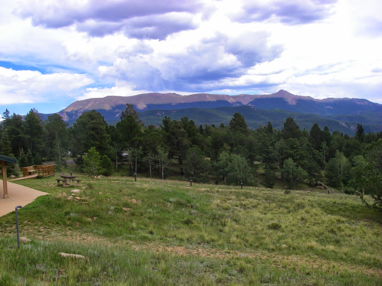
 |
| A view of the terrain surrounding Picture Canyon. The hill in the background is an extinct cinder cone volcano. The valley between is the flood plain of the Rio de Flag. This photo also shows the transitional nature of the forest, with ponderosa pine, pinyon-juniper, meadow, and even some desert species on the sunny hillside. |
Picture Canyon is one of my favorite places to hike around Flagstaff, and it's free. Recommend!

Comments
Post a Comment