Arizona Trail - Flagstaff to Fisher Point via Mountain Bike
 |
| The view from Fisher Point, with the Arizona Trail below. It was a lot of work to get up there. As far as I can tell, the weather is like this most of the time. |
One of the most popular mountain bike trails in the Flagstaff area is the Fisher Point trail, which coincides with a segment of the Arizona Trail. It's one of those that gets a lot of talk and is considered to be fairly easy, except on a short segment near the end. I originally hoped to ride the trail shortly after I arrived in town, but as I have done about every second year, I injured my knee by pushing a little too hard, too early in the year. This was compounded by my excitement at moving into new territory, which made me too eager to get out and cover ground on foot and bicycle. The injury caused me to spend about the last 3 weeks carefully rehabilitating the knee by allowing it to rest and then gradually building up the muscles around the knee with a combination of walking and short, easy mountain bike rides. I finally decided I was ready for the Fisher Point trail.
 |
| The wide track of FUTS next to the Rio de Flag. Yep, that's a "river." It's flowing only because of sewage treatment. The road bridge is I-40. |
The usual routes to Fisher Point start in Flagstaff at one of the many access points to the Flagstaff Urban Trails System (FUTS - pronounced foots). I had carefully scouted out a couple of potential trail heads in advance and decided to ride the Rio de Flag trail, parking my vehicle at a neat little nature park overlooking the ravine. The Spanglish named Rio de Flag is a river, but is usually dry. Comments on the internet indicate that it once flowed intermittently but the flowing water has all been dammed up for use so it now flows only in times of extreme flood aaannnnddd . . . below the water treatment plant outlets for the City of Flagstaff! I find this hilarious, but it still has resulted in some small restoration of riparian habitats downstream,which is a good thing.
 |
| Actual ducks. I haven't seen any of these in a while. The Arizona Trail parts ways with the FUTS on the other side of the pond. |
With all the fuss over water in the West, it's pretty interesting to see just how small the outlet of a city the size of Flagstaff is. The city has about 70,000 people and various industries hooked up to the water supply, yet the outflow is relatively little. Of course, there are water uses that result in evaporation and recharging groundwater, such as watering plants and filling swimming pools, but for the most part the outflow is a good measure of usage. So what explains the severe shortage of water in the southwestern US? Agriculture uses by far the largest proportion of the water. That's a topic for another blog post but suffice it to say, there is a lot of water going to agriculture in a region that has very limited water resources.
Eventually the Rio de Flag trail parted ways with the Arizona trail and I followed it up into the sparse, sunny pine forest of the San Francisco Plateau, the higher region of the larger Colorado Plateau that Flagstaff sits upon. This led into a series of rolling hills on a wide double track jeep road that was not constructed with good trail practices. As a result, the steeper parts were very eroded and I was not yet warmed up in addition to being still somewhat out of shape so I ended up pushing my bike a few times. The forest is beautiful, but I saw few signs of animal life apart from a few birds and numerous chipmunks, or perhaps I should say lined ground squirrels, because they had much longer tails than I am used to on a chipmunk. There were also an abundance of grasshoppers and I was struck several times by the fluttering bugs.
Eventually the trails smoothed out and became a long, very gradual descent into the upper reaches of Walnut Canyon. It's a little disappointing to see the once watered canyon completely dry in these upper reaches. Having lived in the eastern US for almost all of my life, it really is peculiar to see a canyon like that be completely dry. I have lived in Indiana, Tennessee, and Georgia, and in any of those places you would virtually always find water at the bottom of any canyon, ravine, or even just a little gully or ditch (I'm leaving off my brief dwelling in Texas for just a few months). Not so out here in Arizona. The Spanish labeled the area around Flagstaff sin agua, which simply means without water or waterless. I can see why.
 |
| Meadows in the upper reaches of Walnut Canyon. I left the Arizona Trail here to head left to Fisher Point. To the right is the Mexican border . . . in just a few hundred miles. |
The last stretch of trail you reach in the canyon is a truly beautiful place, featuring open meadows and towering sandstone cliffs. I took a short side trail to check out a small cave, which reveals itself to have a skylight in the form of a crack that extends up dozens of feet, if not a hundred or more. A blast of cool air coming out of the back corner of the cave was a welcome relief from the warm afternoon. I had reached the boundary of the Walnut Canyon National Monument, where mountain biking is banned, so I leaned my bike against a sign and continued on foot for a hundred yards or more to have a look at things. There must be a spring that emerges from the dry bottom of the canyon because it gets choked out with underbrush and even what appeared to me to be reeds. Walnut Canyon is mostly known as a place with numerous cliff dwellings, and I'm sure the presence of water in the canyon in ancient times was a contributing factor. I turned back after a short distance and hopefully I will be able to visit the National Monument for a hike sometime.
 |
| The sandstone cliffs beckoned! The trail to the top climbs a steep side canyon to the left of this photo. |
 |
| The cave lets loose a blast of cool air. Beautiful place! |
 |
| Detail of the sandstone formations by the cave. |
After this, I took the connector trail up to Fisher Point. In short order, I determined that I was not going to be able to keep riding due to the steepness of the trail. The trail went up a ravine with a very alpine character, and if I had not been pushing a 30+ pound mountain bike I would have enjoyed it more. I was passed by a mountain biker riding downhill with mad skillz and he cleared a series of rock shelves that I might be able to ride but would not be willing to try. Eventually I made it to the top and after winding around a bit, sometimes riding, sometimes walking, I made it to the overlook.
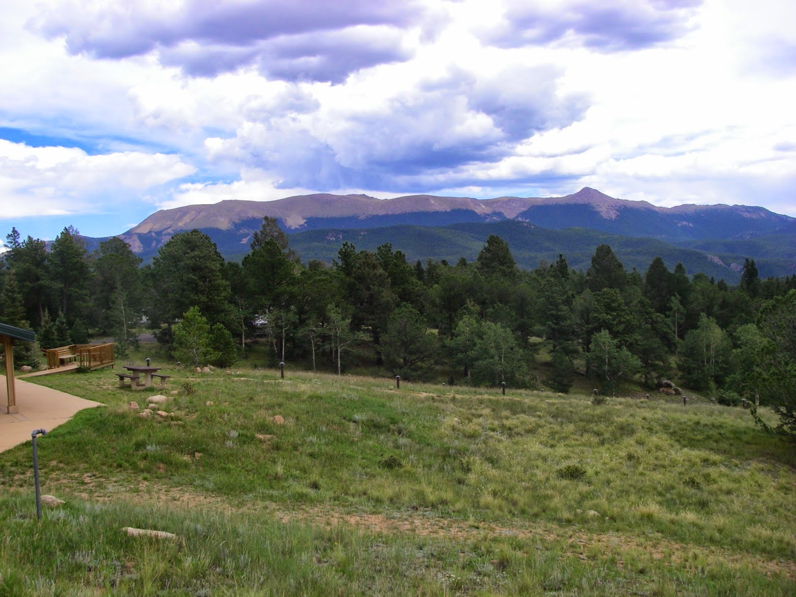
 |
| There was a good, though distant view of the peaks from the trail. |
 |
| I came from down there. |
Here is a simple panning video of the view from Fisher Point.
After drinking in the views, I drank in some more water from my Camelbak and noted that I was consuming water at a prodigious rate in the thin, dry air of the region. The humidity was about 12% when I checked it. On the way back, I made sure to take an alternate route that avoided having to go back down the super-steep trail to the canyon floor, there only to have to re-climb the lost elevation on the way back to town. It turned out to be a huge score! The alternate route follows some singletrack that is part of the planned Flagstaff Loop trail, which as you can probably guess will eventually circle the entire city. The trail is extremely smooth and obviously purpose-designed mountain bike trail, which had the characteristic riders call "flow." Basically it was two or three miles of a smooth ribbon of dirt rolling through meadows and pine groves with no eroded rocky sections and easy switchbacks to make climbs more gradual. I got very excited by the quality of the trail.
 |
| A velvet ribbon of dirt - this is a section of the Flagstaff Loop Trail and is pretty typical for the region. Wonderful riding! |
Eventually the loop trail rejoined the Arizona Trail at a point I recognized and I made the right turn to head back to town. I finally made my way back to Flagstaff and to my truck with plenty of daylight left. Fisher point is a great ride and I will almost certainly do it again, although next time I will definitely take the section of loop trail on the way out to avoid having to push my bike up the steep trail from the canyon floor to the overlook.

Comments
Post a Comment