I took advantage of clear but cool weather to get out for a hike on the first day of my three day Martin Luther King, Jr. Day holiday weekend. Since my fitness level has declined as usual through the Thanksgiving and Christmas holidays and the brief daylight of winter, I decided to go for what I thought would be a short hike. The hike turned out be only about 3 miles but it was so steep that my legs were trembling by the time I got back to the car. I blame not the trail but my usual lack of gym time for this season. On the other hand, it is a particularly steep trail.
 |
| A cloudless sky in North Georgia. This hike was at an important Civil War battle location - Mill Creek Gap. The flags reflect the outcome of the conflict. The flag of the United States is on top with a Georgia flag below. Locals will note that the Georgia flag without the Confederate "Stars and Bars" that used to be in the upper corner. |
I followed the sign on US Highway 41 and parked at some historical markers in front of the rather imposing Highway Patrol station in Mill Creek Gap. A connector trail winds up through a piney woods to the property of a Church of the Nazarene. The main trail is at the back of the property where there is additional parking that I really didn't know about until I got there. It wasn't a significant inconvenience, just an extra two or three minutes of walking.
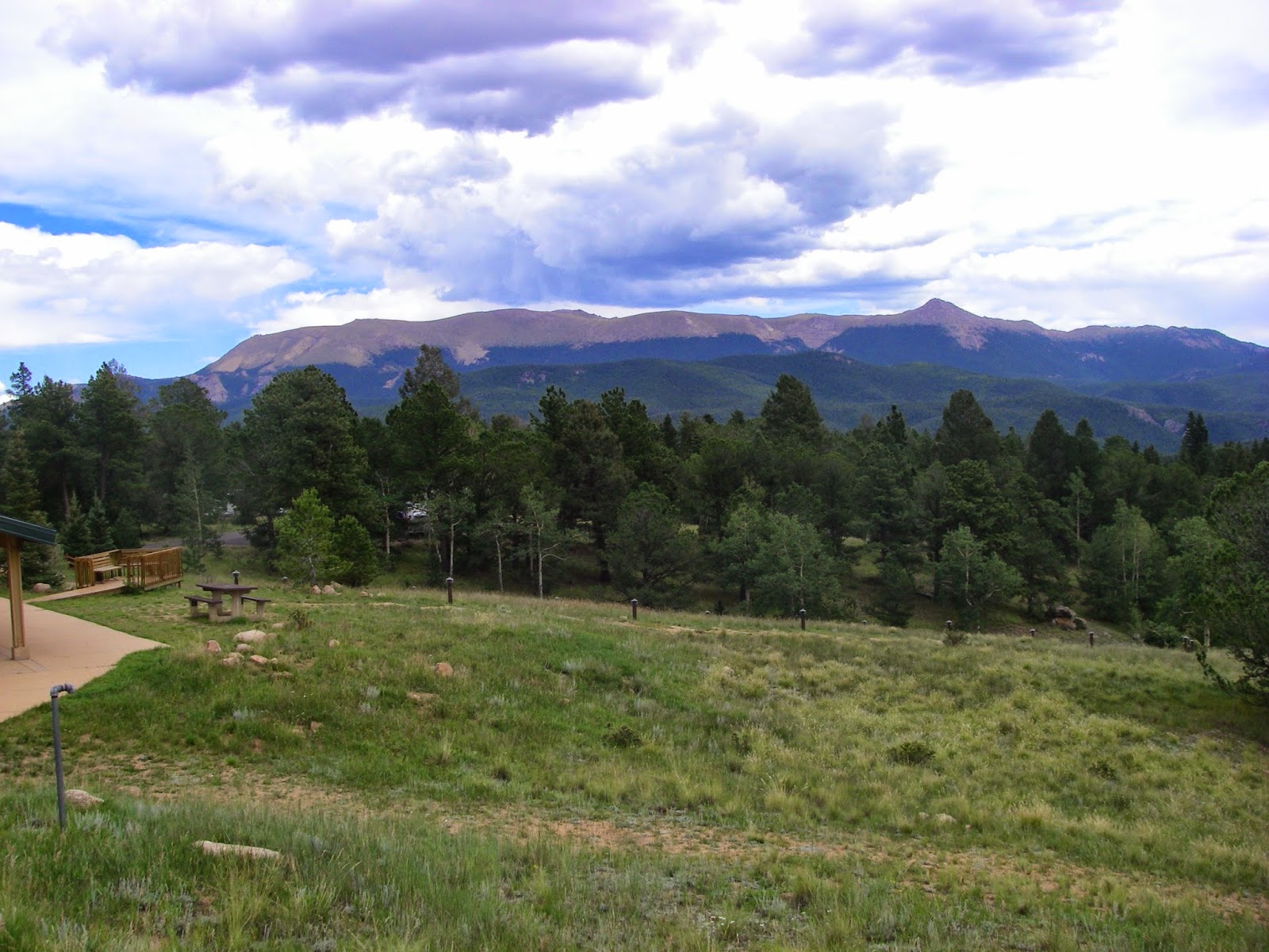
 |
| The trail begins at a nice parking area in front of the very imposing Georgia Highway Patrol outpost. There is another parking area on the property of the Church of the Nazarene next door but there is a connector from the historical park that is short and easy. |
The trails starts to get steep fairly quickly, leveling off only for some short sections of switchback, including where it jumps on an old "truck road" that was abandoned at some time in the past. It steepens considerably the closer you get to the bluffs at the top of the mountain.
 |
| This tree-obstructed view shows the topography of Mill Creek Gap, the low ground between the mountain from which this photo was taken and the mountain opposite. The Confederates held the high ground on both sides, the gap, and the land to the right. The Union forces of the U.S. Army attacked from the left in an attempt to get through the line of mountains. |
 |
| The trail requires a bit of climbing. This is the route I took on the way down but there is another similar climb up a few feet away that I took on the way up. I couldn't see any way to get up on top of the mountain without these short climbs. |
 |
| This obstructed view is the best shot I could get of the Blue Ridge Mountains just to the east, which is a shame because viewing conditions were ideal and in person they looked huge and stood out sharply through the trees. Again I fail with the camera work. |
At the top there are jumbles of boulders and exposed bedrock with good views off to the west and northwest.
 |
| The Ridge and Valley Region, backed by the slightly higher line of the Cumberland Plateau and Lookout Mountain in the distance. My point-and-shoot camera does not take very good photos on bright days, or at least I am not competent enough with it to get good results. |
 |
| The twin ribbons of asphalt comprise I-75 as it heads generally northwards towards Chattanooga. |
At the rock promontories you feel like you are at the top of the mountain but the trail continues to climb and eventually you get to the grave of George Disney, an officer in the Confederate Army that was killed instantly by a bullet from Union forces that were assaulting the ridge in an attempt to get through the gap. It is reported that he was buried where he fell, but if so then he must have been hit by a bullet that arced over the mountain top because there is no line of sight from down below. Of course that is possible but I wonder if he was actually shot at the lip and then dragged back by other soldiers before they decided he was dead. Either way his grave is on the other side of the ridge line.
 |
| The grave of Confederate officer George Disney. It is said he was "buried where he fell." |
A trail review I had read on the web indicated to keep going to find a cairn that marks a local high point on Rocky Face Mountain so I kept pushing on but had to wander off the main trail a bit to find the cairn. It made me a little nervous because I have lost trails before and it is not fun, but in this case the worst that would happen would be that I would have had to bushwhack down to settled areas to find a road because the mountain is entirely surrounded by roads and development.
 |
| This is the old "truck trail" that originally led to the top of the mountain near Disney's grave. I followed it a ways looking for a way up to the local crest of the mountain where I had heard there was a cairn marking the high point. |
 |
| Rock cairn at the local high point of the mountain. I had to wander off the main trail onto some very faint tracks to find it. |
Finally I started back down the mountain and discovered just how out of shape I was. My legs were trembling with every step. This worsened as I progressed and I had to stop to still the trembling several times. It was a pathetic showing and a testament to how far I have let my fitness slip over the last few years. Back to the workout routine! That said this is a very steep, strenuous hike despite being pretty short in length.
 |
| Too much pork and pilsner. The blue in the lower right is my hat, which I had to use to prop up the camera. |
The George Disney Trail is actually a very nice hike, if extremely steep. It's better than the hikes I did at
Dug Gap and
Snake Creek Gap and provides excellent views from the top of the mountain. All three gaps are significant to the history of the U.S. Civil War and I could recommend all three for history buffs but the Disney trail at Mill Creek Gap is preferable for outdoor enthusiasts.

Comments
Post a Comment