Having endured my third day of rainy weather in a row right in the middle of my vacation, I endeavored to leave the house and go hiking even though it was essentially a 100% chance of rain for the fourth. The fourth day of rain in a row that is, as well as the fourth of July, the Independence Day holiday in these parts. I really had wanted to take a day of my vacation to do some hiking or biking in the high mountains, above 5000 feet of altitude and had been training to that end for the last couple of months, but I knew with the rain it would not have been worth the drive time and fuel. Instead I selected a place I've been meaning to explore for several years: the Pinhoti Trail at Snake Creek Gap.
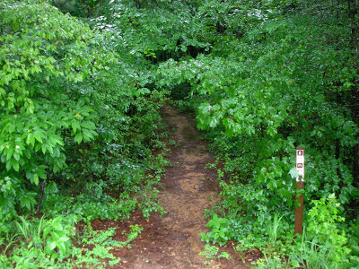 |
| Wet trailhead on the south side of Highway 136. |
I should explain at this point, that in the Southern Appalachian Mountains, a gap is what would be called a "pass" in the Western United States or Canada, or a "notch" in New Hampshire, or a "col" in much of Europe. In this case Snake Creek Gap provides a passage for Georgia Highway 136 through one of the barriers in the Appalachian Ridge and Valley region. It has historical significance to the U.S. Civil War in that the U.S. Army got around the Confederate lines of defense by unexpectedly sending troops through the gap and forcing a Confederate retreat towards Atlanta.
 |
| An extremely ironic warning of a planned prescribed burn (considering the endless days of heavy rain). |
I've previously mountain biked on the other side of the mountain a couple of times at the Pilcher's Pond area of Chattahoochee National Forest and had scouted the trailheads up at the Gap. As I've mentioned in a previous blog post, it's a nice looking gap which has much of the look of a proper mountain pass despite the mountains being pretty low really. As the trail has a reputation for steepness, my plan was to hike rather than mountain bike, with the initial goal of reaching the summit of the mountains both to the north and south of the Gap. I started out southward towards the summit of Horn Mountain first.
Fortunately the soil is so rocky and gravelly that the trail surface is firm and intact even in heavy rain. I daresay it's one of the few places in the Southeast that could be ridden by mountain bike in almost any weather. That said, I do not like riding in even minimal mud so I was not sorry to be hiking rather than riding.
 |
| A peculiar field of almost luminescent mossy boulders on the slopes of Horn Mountain. |
I kept hoping for sweeping views of Northwest Georgia but there were no large breaks in the trees and the few glimpses I got between the branches mostly revealed only grey clouds and occasionally mist-shrouded opposing slopes, the greens dulled by the wet atmosphere. Finally I got to what I presume to be the crest of the Pinhoti where it reaches the top of Horn Mountain because there was a medium sized rock cairn. I wonder if there is a geo-cache in there somewhere or nearby?
 |
| Cairn at the crest of the mountain. Note the lack of a view between the trees. I occasionally spotted some mountains through the mist but basically the entire hike was clouded. |
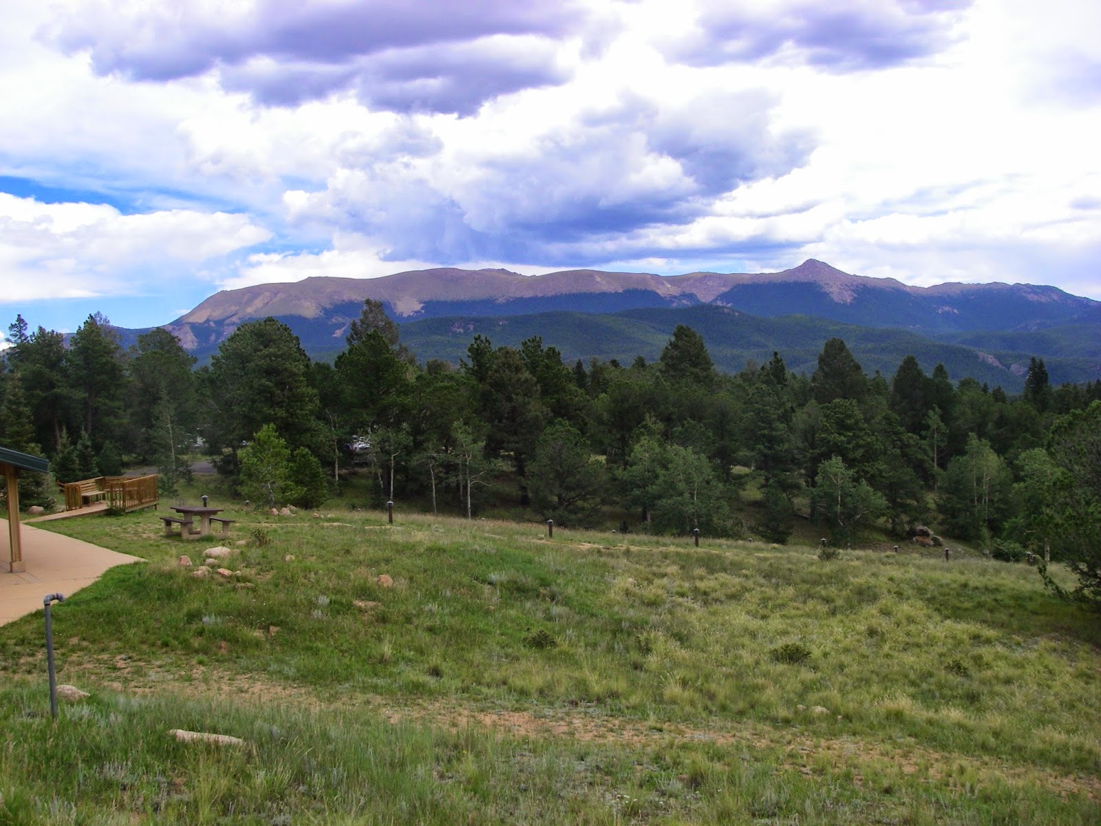
I felt I had climbed several hundred feet and gone perhaps as much as two miles so I decided it was time to turn back. Unfortunately I had forgotten to pickup some more moleskin so both my ankles were getting medium-rare by the time I got back to the car. I decided to skip climbing from Snake Creek Gap up the mountain on the other side: Mill Creek Mountain. I'll save that for some other day. I think I hiked about 4 miles round trip which is some decent exercise. It's a nice hike, although without any significant views, especially in the rain.
 |
| Not sure if this is a toad or a frog. This little guy/girl is only a little over an inch long. |


Comments
Post a Comment