The Middle Hooch
Chattahoochee River: Buford Dam to Settles Bridge
December 8, 2012
http://www.americanwhitewater.org/content/River/detail/id/4475/
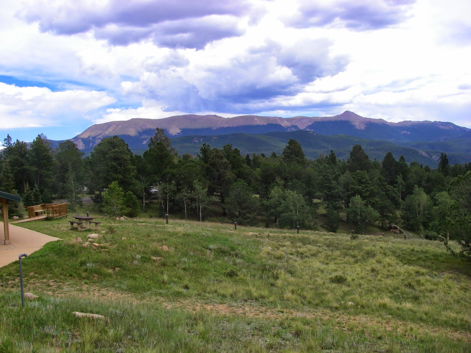
When starved of water, I have sometimes found it necessary to wander far from familiar territory. Last weekend the only thing running within 200 miles of the greater Chattanooga area was the Chattahoochee so I went for a long drive. Large groups converged on the Metro section, but a smaller group converged on the rarely run but frequently fished Middle Hooch. I joined the Walkers, Stephen and Jana, who graciously invited me to explore their local run. I hoped the haul would be a meager 2 hours but it went well over that due to my inability to input the correct destination into the GPS. It was roughly a Nanty drive for a class I-II river but that’s not important in a drought. I was just glad to be out on the water.
 |
| Lake Lanier from Buford Dam Road. |
 |
| Buford Dam from the launch site. |
Buford Dam is a massive earthen dam that impounds the Chattahoochee near Buford, Georgia. It’s impressive to drive over and impressive to look upon from downstream. The lake is scenic and deep and the water in the outflow is ice cold. The Army Corps of Engineers has the strange habit of releasing either slightly too little, or much too much water from the dam. This results in very extreme fluctuations in flow. Unfortunately I didn’t have the opportunity to experience one of the high-flow events but the signs of it were everywhere. Fortunately even the minimum flow is floatable for the average solo paddling craft, especially if you are drought-desperate for whitewater.
 |
| Lot of wood in the run due to periodical high flows. |
There were plenty of exposed rocks covered in mud between the highly eroded stream banks. These created some nice small class I rapids with a few opportunities for 360 degree flat spins, though few other opportunities other than playing slalom by dodging the semi-frequent trout fishermen. Judging by their relative scarcity, I suggest a few of the Atlanta fellows cluttering the Toccoa and Upper Upper Chattooga should relocate to the nearby Middle Hooch to have less paddler interference and more solitude. Plus it will keep them off the whitewater. The Middle Hooch is relatively flat. We did not see any other paddlers for the entire day but we saw several fishermen – but only a couple per mile. There are a few McMansions dimly visible through the trees outside the National Park Service property lining the river but for the most part we enjoyed at least the illusion of a river in a fairly pristine condition (once you get out of sight of the massive dam).
 |
| The mud on the sign marks the level the water normally reaches when the dam is generating at full capacity. Rivers ought to not have mile markers in my opinion. Very strange. |
Eventually we arrived at the only true class II on the run, Rescue Rock (a.k.a. the Hump). This is a rock ledge with a giant boulder in the middle, which is undercut but not difficult to avoid. There is a medium sized wave-hole alongside the best channel to the right of the boulder and you can punch it and eddy out behind the rock. There is a huge eddy behind it the size of a medium pond and there is some play to be found in the standing waves in the run-out from the rapid. Sandy beaches (at low flow) make good points to exit your boat on river left. Watch out for the accumulation of logs on river right below the surf in the outflow of the wave train.
 |
| Approaching Rescue Rock, the only class II on the section at normal flow. Note the severely undercut front side of the rock. |
 |
| The left side of Rescue Rock. We didn't run this side. It kind of looks like a Chattooga Section 2 rapid. |
Play all you want and then be prepared for flatwater, there is a lot of it. The flat section is punctuated by a few small rapids with play spots including a couple of very nice small but glassy waves that can be ridden for minutes on end, although they are not deep enough to throw any significant moves. We amused ourselves by throwing down our sterns and working on flatwheels in the deep pools between. Finally we came upon the takeout at the defunct Settles Bridge, tired but happy.
 |
| The old Settles Bridge. The takeout is on river left. |
We finished with Pollo Pakal and a burrito at Cinco on Peachtree Industrial. My Pollo Pakal came with Cream Corn Sauce (?), something I’ve never experienced before. I called it “Mexican Pancakes,” where disks of crunchy tortilla are the cakes and cream corn sauce is the syrup. Nice river, nice people, nice day. At least I got to paddle in a multi-week drought (the heavy rains didn't arrive for another 2 days). Oh, I forgot to mention how warm it was. Spring temps in early December, can’t beat that.
 |
A stack of Mexican Pancakes at Cinco's with cream corn sauce instead of syrup. Actually it was called Pollo Pakal. It was interesting. I was unsure how to eat it at first.
|

Comments
Post a Comment