 |
| A view of Indian Boundary Lake looking into the evening sun. |
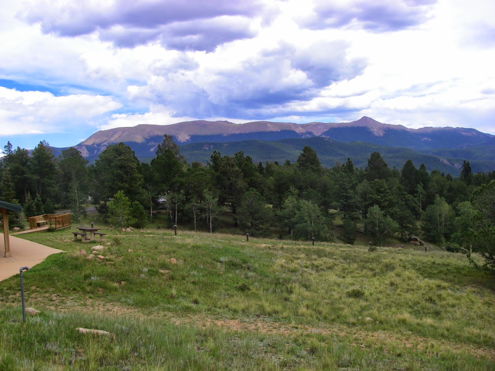
I first visited Indian Boundary Recreation Area in Cherokee National Forest back in early October 2010. At that time, the leaves had just started to change color. Desperately in need of an outdoor adventure, I decided to return and see how it looked in early November. Indian Boundary is located off the Cherohala Skyway above Tellico Plains, Tennessee so you get the added benefit of the scenery of the Skyway.
Unfortunately I got off to an inauspicious start due to a pinhole in a valve stem on my rear wheel, but after struggling for a while I got a spare tube installed and ready to go.
"Fortune favors the prepared . . . " - Louis Pasteur (Ok, so I'm taking it a little out of context, but I was prepared with a spare tube and tire tool.)
 |
| The good thing about having a pickup is you have a ready made workbench on the back of the vehicle. |
The trail was as I remembered it, ridiculously smooth bicycle path, only this time most of it was carpeted in a thick layer of dry leaves. At first it was a bit cool and windy with the sky periodically clouded over but eventually I warmed up and the sun made several appearances to keep things pleasant for November in the Southern Appalachians.
 |
| Super smooth bicycle path, with just a few outcroppings of rock and at this time of year, a blanket of leaves. |
 |
| There are many nice bridges on the Lake Loop trail over small rivulets. |
The primary tributary to the lake forms an almost perfectly picturesque meandering channel with grassy wetlands around the inflow. Unfortunately the late day lighting, the camera, and my limitations as a photographer did not fully capture the loveliness of the setting.
 |
| A beautiful wetland with a meandering channel where the main tributary flows into the lake. |
On the far side of the lake from the parking lot, the pedestrian traffic dropped off for a mile or more and the views of Flats Mountain opened up. Most of the leaves on the higher ridges had dropped already, but there were still some flaming reds in a sheltered area just above the lake. Eventually I came upon the dam, which can be ridden across with just a few inches to spare on either side of the handlebars, but it's best to stop in the middle because Flats Mountain is perfectly framed on the lake side. Flats Creek drops away on the other side, eventually flowing into Citico Creek far below. Being also a whitewater paddler, it was an irresistible temptation for me to contemplate if Flats Creek was runnable and if it has been run. There was not sufficient flow in the dry Autumn weather but the channel looked promising. It's certainly a micro creek at this point and the dam would no doubt limit the outflow but the channel looked plenty big enough below the dam.
 |
| Flats Mountain above the Indian Boundary Recreation Area - taken from the dam. |
 |
| The dam over Flats Branch, a tributary of Citico Creek. |
More views of Flats Mountain are available when you get around to the beach area (closed for the season), then the trail returns back to the parking area by the boat ramp.
 |
| Late season color in the middle elevations of the Southern Appalachians. |
Back in 2010 I resisted the urge to drive down to scout Citico Creek because I ran out of daylight and wanted to drive up the Skyway for more views. On this day I took the opportunity to go down and check it out. There was more water than I expected based upon what I had seen in the Tellico River when I drove over it, but it still was nowhere near runnable, and a couple of the rapids looked suspiciously like Low Water Rocky Garbage (LWRG - an acronym of my own invention). I could see why it requires a lot of rainfall for paddling. I saw a couple of logs that looked slightly problematic and also noticed that parts of the stream bed are more like a trench than a creek. It's easy to see how Citico developed the reputation for being continuous to the point that it can be hard to catch an eddy once you launch.
 |
| Looking downstream on Citico Creek into a gaping undercut rock. I suspect the drop is a bit cleaner when there is enough water in the channel. Of course at a good level the water must be moving really, really fast. |
My urge for time outdoors and exploration satisfied, I headed back south for home. A little time outside can get me through the longest work week. I had one last spectacular view from the Cherahala Skyway before leaving the area.
 |
| The view from Caney Branch Overlook. It's pretty nice if you can ignore the house and antenna in the lower part of the picture. |


Comments
Post a Comment